Lugnaquilla · The high ground
Lugnaquilla, Wicklow’s highest mountain
At 925 metres, Lugnaquilla is Wicklow’s highest mountain. I would plan around its two starting points, steep corries and broad summit plateau, especially in mist.
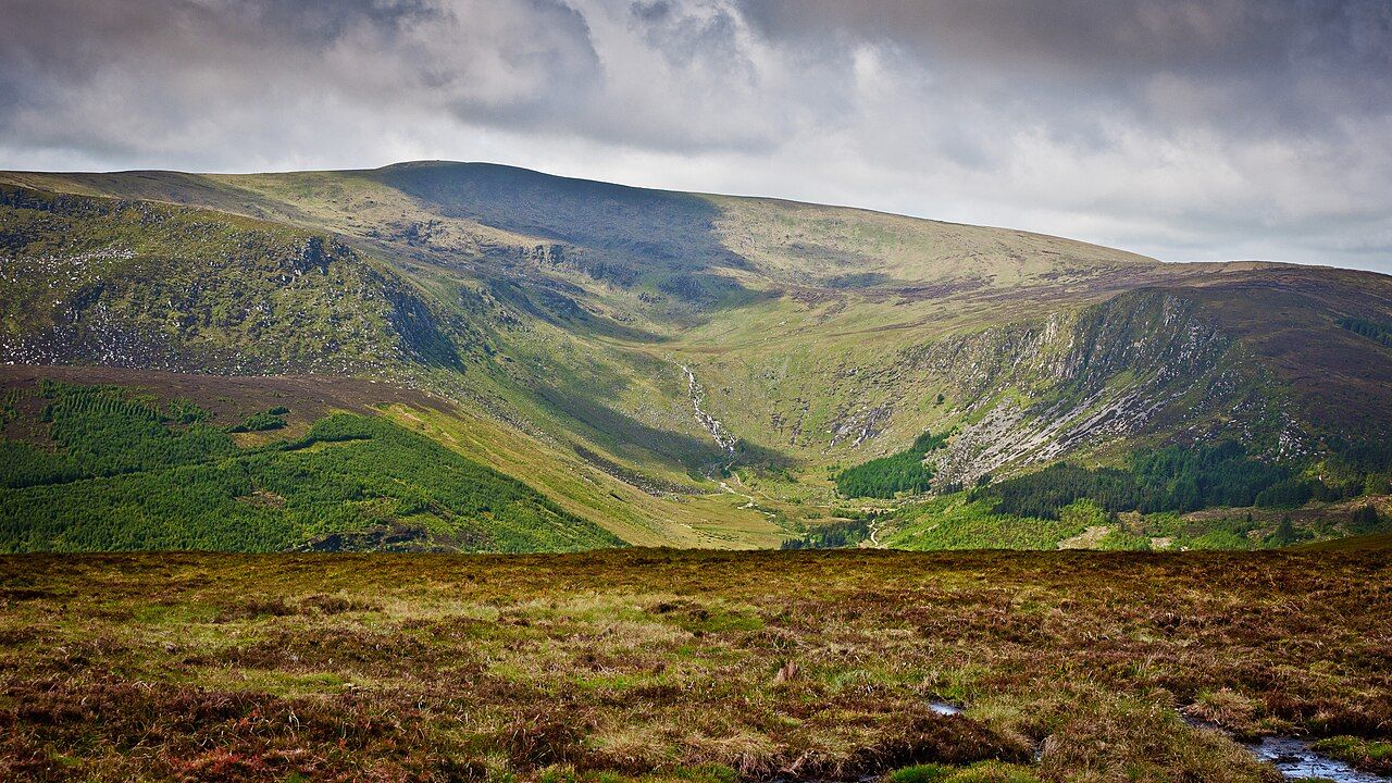
925 metres is the measure that sets the scale: Lugnaquilla is the highest mountain in Wicklow, and the highest point in Ireland outside County Kerry. I would begin with those facts, because they make this a mountain to approach with attention rather than a name to tick off. Its summit is not a sharp peak but a broad, flat plateau, a shape that gives the mountain its particular character.
Choose between the routes that start from Glenmalure and the Glen of Imaal. I would make that choice before setting out, then keep it simple: the routes begin in different places, but both lead to the same high ground. I have no favourite between them on the facts alone. The useful thing is knowing that there are two starting points, rather than pretending the mountain has one obvious way up.
Keep the two steep corries in mind: the North Prison and the South Prison cut into Lugnaquilla’s sides. Those names give the mountain a stern edge, and I like that the terrain has features you can hold in your mind without turning the walk into a list of instructions. The corries are part of the shape of the place; the broad plateau above them is another matter entirely.
Give the summit plateau particular thought if mist is present. It is broad and flat, and hard to navigate in mist; that is the clearest practical fact about the top. I would not mistake its openness for simplicity. My bad knee already objects to descents, but it has no useful opinion on navigation, so I leave that decision to my better judgement.
Turn to The Wicklow Way, in three parts of a day
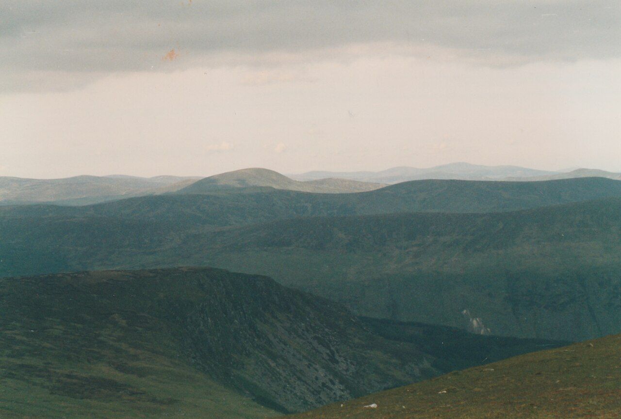
Remember that part of the western side lies in an army artillery range in the Glen of Imaal. I would keep that fact in view when thinking about the route from that side, rather than treating the mountain as if every slope were interchangeable. The detail belongs in the plan, not as a dramatic aside: the mountain has a real landscape and a practical boundary within it.
For me, the point is to hold these pieces together: the two starting places, the steep corries, the plateau, and the western side’s position in the range. I keep a separate Wicklow thought for down to Lough Dan, and another for Vartry and Dublin's water; here, I stay with Lugnaquilla.
So set the route from Glenmalure or the Glen of Imaal, remember that the summit is a broad, flat plateau, and take its difficulty in mist seriously. I would rather finish with those plain facts than decorate the mountain with promises. My knee will complain on the way down regardless, which is about the only part of the plan I can predict.
Lugnaquilla’s flat summit makes it more demanding in mist than its outline suggests.